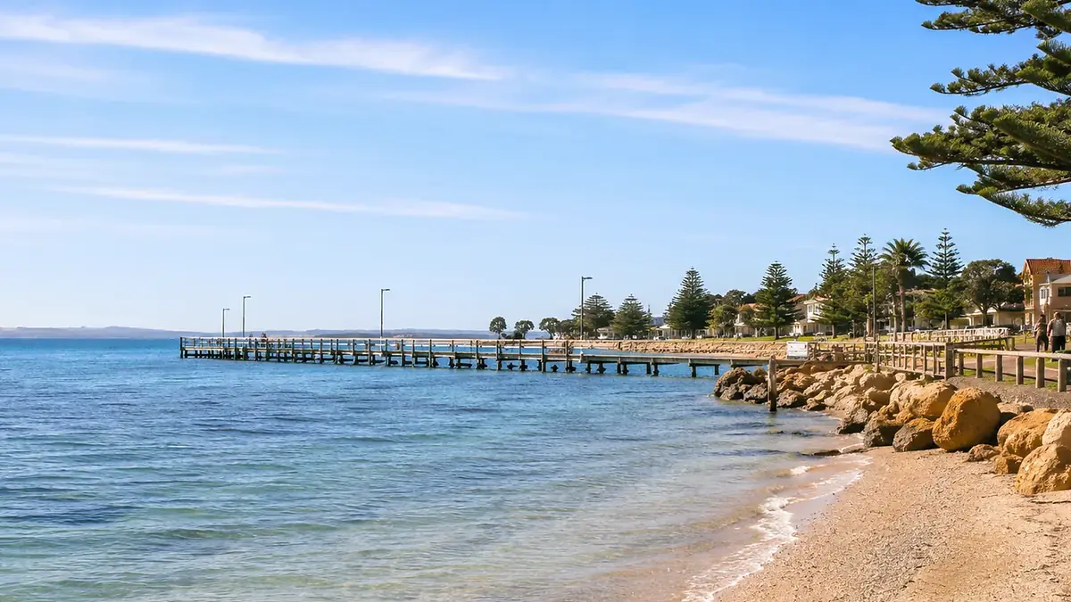
Wauraltee
A well-known council bush-camping choice behind the dunes, useful for long beach days and a west-coast route toward Port Victoria.
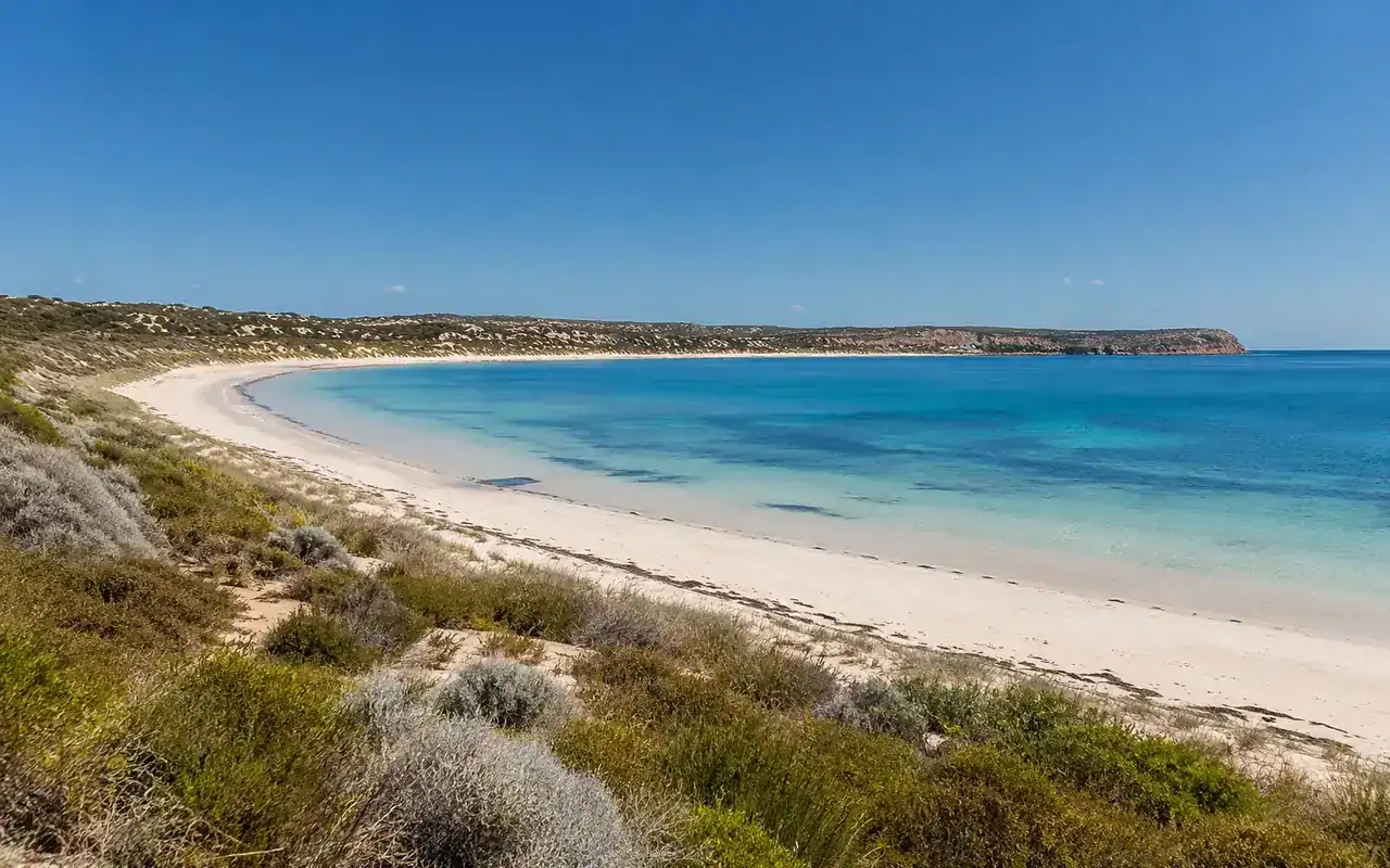
Camping & coast
Choose the right coast, booking system and level of facilities before you leave town
Yorke Peninsula camping ranges from low-facility council bush campgrounds beside remote coastline to bookable sites inside Dhilba Guuranda–Innes National Park and serviced caravan parks in coastal towns. The important part is knowing which rules apply to which type of stay.
Camping is one of the best ways to stay close to Yorke Peninsula’s remote coastline because many of its strongest coastal areas sit away from large towns. But “Yorke Peninsula camping” covers several different systems: Yorke Peninsula Council bush camping, Dhilba Guuranda–Innes National Park campgrounds, private bush camping and caravan parks. Treating them as one network is where visitors get caught out.
The biggest practical change is the council booking model. Older descriptions online may still imply that a general permit lets you arrive and choose any bush campground. Under the current system, campers normally book a specific council campground for their dates. The site within that campground is generally unnumbered and selected after arrival, but the campground itself is not interchangeable.
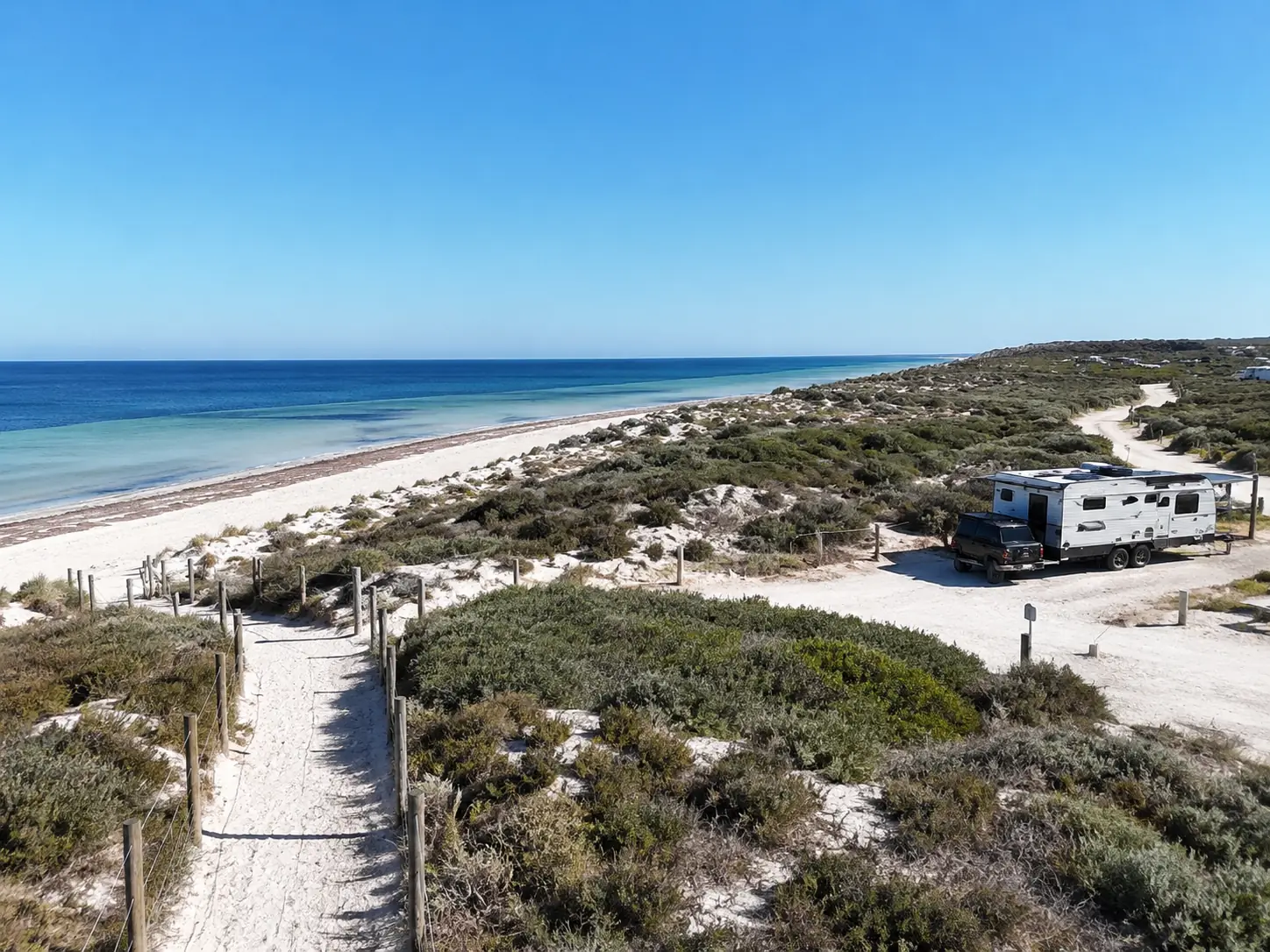
A well-known council bush-camping choice behind the dunes, useful for long beach days and a west-coast route toward Port Victoria.
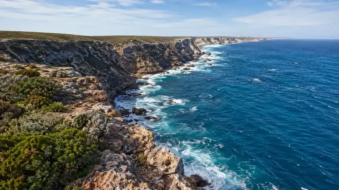
Strong choices when the exposed south-western coast matters more than town convenience.
Good for a quieter southern route outside the national park. South Coast is the campground formerly known as Foul Bay; Warooka and Marion Bay are the practical supply towns.
A council camping option on the eastern side, useful when you do not want to drive all the way to the peninsula’s southern foot.
Choose Dhilba Guuranda–Innes when the national park itself is the destination. Book through the park system, not the council bush-camping system.
Maitland or Minlaton suit many north-west and west-coast routes; Warooka, Yorketown and Marion Bay are more practical farther south; Stansbury and Ardrossan can work well on the east coast.
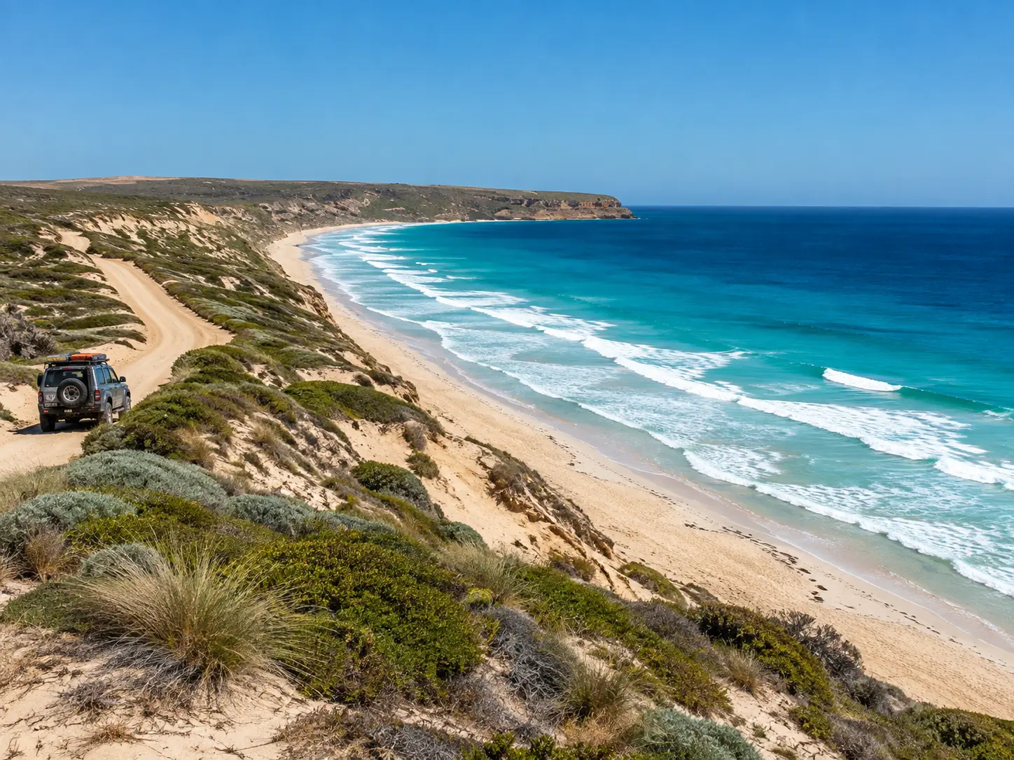
Yorke Peninsula Council manages 19 designated bush campgrounds. Under the current booking system, you normally book a specific campground for your dates; having a booking does not mean you can freely switch to another campground on arrival.
If you want two nights near Corny Point and then two nights on the south coast, book those campground stays in advance as separate stops. Monthly and annual permit arrangements can work differently, but individual short stays should not be planned as a roaming pass.
The council network stretches from the north-western coast around Balgowan, down the western side and around the “foot”, then back toward the south-east and Ardrossan side. Most are simple coastal campgrounds rather than full caravan parks, so choose by route first and facilities second.
| Campground | Coast / area | Toilet | Main access | Practical supply base |
|---|---|---|---|---|
| The Gap | North-west | Yes | Conventional vehicle | Maitland |
| The Bamboos | North-west | Yes | Conventional vehicle | Maitland |
| Tiparra Rocks | North-west | No | Conventional vehicle | Maitland / Port Victoria |
| Wauraltee | West coast | Yes | Conventional vehicle | Minlaton / Port Victoria |
| Barkers Rocks | West coast | Yes | Conventional vehicle | Minlaton / Port Victoria |
| Port Minlacowie | West coast | Yes* | Conventional vehicle | Minlaton |
| Len Barker Reserve | Western foot | Yes | Conventional vehicle | Point Turton / Warooka |
| Burners Beach | Western foot | Yes | Conventional vehicle | Point Turton / Warooka |
| Gravel Bay | Western foot | Yes | Conventional vehicle to campground | Corny Point / Warooka |
| Swincer Rocks | Western foot | Yes | Conventional vehicle | Corny Point / Warooka |
| Gleesons Landing | Western foot | Yes | Conventional vehicle | Corny Point / Warooka |
| Daly Head | Western foot | Yes | Conventional vehicle | Warooka / Marion Bay |
| Foul Bay Boat Ramp | South coast | No | Conventional vehicle | Warooka |
| South Coast (formerly Foul Bay) | South coast | Yes | Conventional vehicle | Warooka / Marion Bay |
| Sturt Bay | South coast | Yes | Conventional vehicle | Warooka |
| Mozzie Flat | South-east | Yes | Conventional vehicle | Yorketown |
| Goldsmiths Beach | South-east | Yes | Conventional vehicle | Edithburgh / Yorketown |
| Wattle Point | South-east | Yes | Conventional vehicle | Edithburgh / Yorketown |
| Parara | East coast | Yes | Conventional vehicle | Ardrossan |
* Port Minlacowie: the main campground has a toilet, but the north section does not. Council describes the 19 approved campground locations as accessible by conventional vehicles; that does not mean every beach or side track is suitable for 2WD, caravans or large rigs. Follow local signs and conditions.
The council’s interactive camping map is the quickest way to see where the approved campgrounds sit around the peninsula and to open individual camping-area diagrams. For unsealed approaches, the council’s patrol-grading map adds road category, grading frequency and the last recorded grading date.
The Gap · The Bamboos · Tiparra Rocks · Wauraltee · Barkers Rocks · Port Minlacowie
Len Barker Reserve · Burners Beach · Gravel Bay · Swincer Rocks · Gleesons Landing · Daly Head
Foul Bay Boat Ramp · South Coast (formerly Foul Bay) · Sturt Bay · Mozzie Flat
Goldsmiths Beach · Wattle Point · Parara
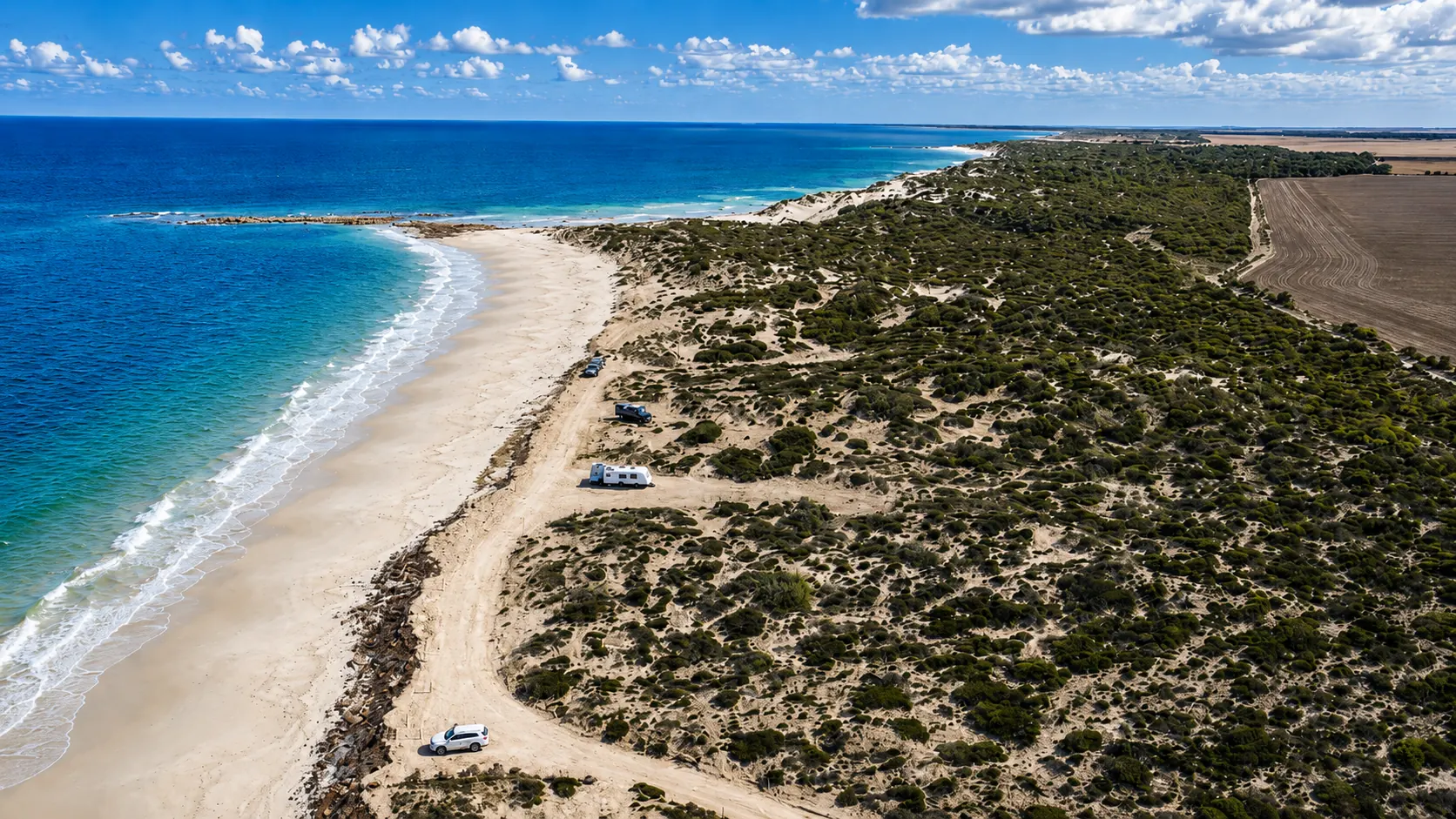
Do not assume that beach access means beach camping is allowed. Yorke Peninsula Council says camping is permitted only at designated camping sites, and at Wauraltee the designated campground specifically does not include the beach.
This distinction matters because photographs often show vehicles on sand, tents near dunes or camps with an ocean view. Those images can mix legal campground areas, day-use beach access, private camping and older practices. Use the designated campground boundary and current signs as the rule on the ground.
Dhilba Guuranda–Innes National Park is not part of the Yorke Peninsula Council bush-camping permit system. Campsites are booked through South Australia’s national-parks system, vehicle entry applies, and dogs are not permitted in the park.
Campgrounds include options around Stenhouse Bay, Pondalowie Bay, Shell Beach and other parts of the park, with different suitability for tents, camper trailers and caravans. The park is accessible by 2WD, but individual campground size and vehicle suitability still matter when booking.
Do not expect drinking water at a bush campground. Refill on the route that suits your coast: official refill points include Maitland, Port Victoria, Warooka, Ardrossan and Stansbury, while Marion Bay has water available for purchase.
Carry more than the minimumMost council bush campgrounds have basic toilet facilities. Tiparra Rocks and Foul Bay Boat Ramp do not; current 2026 permit terms also note no toilets in the north section of Port Minlacowie.
Check the exact camping areaDogs are permitted at council bush campgrounds subject to signs and responsible behaviour. Dhilba Guuranda–Innes National Park is different: dogs are not permitted.
Council camps ≠ national parkCouncil permits campfires only in designated camping areas outside the Fire Danger Season. During the Fire Danger Season, ground campfires are banned; gas and electric cooking appliances remain subject to current conditions and Total Fire Ban rules.
Check current fire restrictionsCouncil specifically warns that reception can be limited at some campgrounds, which is another reason to complete bookings before arrival.
Do not rely on booking at the gateRemote camping works best when you plan to carry rubbish out and know the nearest collection point or town before driving in.
Leave the coast cleanerStatic descriptions are useful for planning, but remote coastal camping still needs a final check close to departure.
Good when beach time and sunsets are the priority.
Best for fishing, surf and rugged coastline.
Best when you want town services before a more basic bush-camping stay.
Yorke Peninsula Council currently describes a network of 19 designated bush campgrounds around the peninsula.
For Yorke Peninsula Council bush camping, you need a current booking/permit for the campground you are using. National-park and private camping use separate booking arrangements.
For ordinary short stays, the current council system requires you to book a specific campground for your dates. Do not rely on older information that suggests you can simply move between campgrounds without updating bookings.
The council bush-camping network is not unrestricted free camping: designated sites require booking/permit arrangements. Other overnight areas may have separate rules or fees, so check the location before staying.
No assumption should be made from photos of vehicles on the sand. The designated Wauraltee camping area does not include the beach; camp within the approved campground.
Many designated campgrounds can be reached by conventional vehicles, but unsealed roads and local tracks vary. Some shore-based areas, including parts around Gravel Bay, are 4WD-only, so match the route to your vehicle and setup.
Dogs are allowed at council bush camping locations subject to signs and responsible control. They are not permitted in Dhilba Guuranda–Innes National Park.
They are separate systems. Council bush camping covers 19 designated coastal campgrounds, while Dhilba Guuranda–Innes National Park has its own campsites, booking system, vehicle-entry requirements and park rules.
Yes. Campgrounds have capacity limits and mobile coverage can be unreliable in some coastal areas. Booking first avoids driving to a campground that is already full.
Choose the supply town that matches your coast: Maitland, Minlaton or Port Victoria for many north-west and west-coast routes; Warooka, Yorketown or Marion Bay farther south; and Ardrossan, Edithburgh or Stansbury on the east side. Carry more water, food and fuel than you expect to need rather than planning around remote campground services.